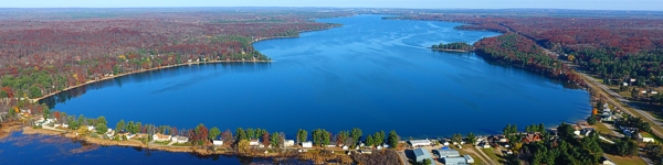
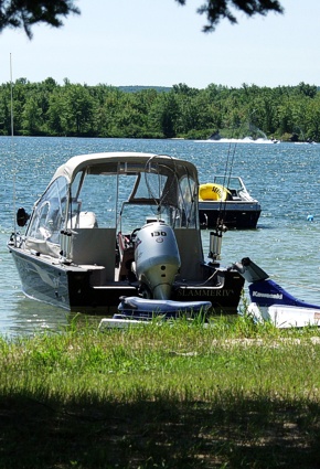
Everything Michigan
Source for the North
www.fishweb.com
MICHIGAN FISHING

Otsego Lake
click red on the map
for more information

Otsego County MI
Gaylord Weather
Northeast Lower MI Lodging
Area: 1,972 acres
Latitude:   N44° 57.32'
Longitude: W84° 41.64'
Printable Map
  » Michigan Fishing
  » Game Fish & Tackle Tips
  » Michigan Fishing Reports
  » Inland Lake Fishing Maps
  » Michigan Harbor Guide
  » Fishing Photo Stories
  » Fishing Charters & Guides
  » Boat & Watercraft Rentals
  » Used Boat Listings
  » Used Fishing Equipment

Fish Species:
click name for species info
bluegill, largemouth bass, northern pike, pumpkinseed sunfish, rock bass, smallmouth bass, yellow perch

LENGTH : 5 mi.
WIDTH : 1 mi. max.   .7 ave
DEPTH : Max 23 ft.
BOTTOM :
SHOAL - sand, little gravel, pulpy peat.
DEEP - pulpy peat


submergent vegetation
emergent vegetation
dead heads
rocks & gravel
floating vegetation
marsh / swamp land


Otsego Lake Map Otsego County Michigan Fishing
Otesgo lake Michihan


M.I. Advertisement Pricing


content property of Michigan Interactive™ ©since 1995 all rights reserved

ATV - Boating - Calendar - Fishing - Gardening - Golf - Hiking - Lodging - Mushrooms - Canoe Kayak - Snowmobiling - Maps