Source for the North
www.fishweb.com
Michigan Paddle Sports
canoe - kayak - raft - tube
Trowbridge Road
Sturgeon River Map
Cheboygan County
Wolverine Weather
Northwest Lower Lodging
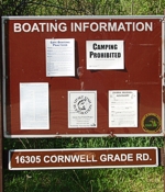
Parking Area:
Latitude: N45° 13.222'
Longitude: W84° 35.082'
BRIDGE COORDINATES
South Trowbridge:
Latitude: N45° 13.338'
Longitude: W85° 35.284'
Interstate 75:
Latitude: N45° 13.567'
Longitude: W85° 35.560'
North Trowbridge:
Latitude: N45° 13.920'
Longitude: W85° 35.305'
Freeway Trail:
Latitude: N45° 14.192'
Longitude: W85° 35.169'
|
Sturgeon River - Trowbridge Road - Wolverine Michigan
|
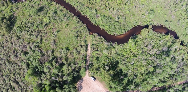
The southern most starting point on the Sturgeon River is
just off Trowbridge Road where the DNR has provided a parking
area with easy access to the river bank.
|
|
Headed north it's a nice easy stretch of river
to get you started out.
|
|
You will pass under several bridges along the way in this area.
First under Trowbridge Rd., above left, then I-75, above right,
and than Trowbridge Road again, below left, where there is a small chute of
fast water between a line of boulders under the surface just north of the bridge.
At the Trowbridge Road crossings you will also go under a second R&R bridge
which is now part of the Gaylord to Indian River Snowmobile Trail and bike trail. The last bridge
in this area is Freeway Trail, shown below right.
|
|
M.I. Advertisement Pricing
|