Source for the North
www.fishweb.com
Sawmill Point access:
Latitude: N 44° 27.359'
Longitude: W 83° 36.258'

River Road National
Forest Scenic Byway
Au Sable River Map
Iosco County Map
Oscoda Michigan
Oscoda Weather


|
Sawmill Point - Au Sable River - Iosco County - Oscoda MI.
River Road National Forest Scenic Byway - Michigan Interactive™
|
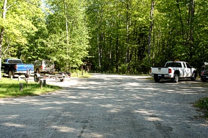
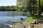
The boat ramp is gravel and is adjacent to primitive campsites on Cooke Pond.
This is a small site that gets full quickly on summer weekends.
Other Cooke Pond launches are located at Pine Acres and at Cooke Dam.
|
|
Ausable River Primitive Camping is not a physical campground located at one location.
A series of 102 individually designated single-family campsites are located on a
55-mile stretch of the Ausable River shoreline and bluffs within Alcona and Iosco Counties,
from the 4001 Bridge to Oscoda.
|
|
M.I. Advertisement Pricing
|